On New Jersey’s aquaculture maps, unfamiliar names shimmer. I am a land dweller, of the shore but not, like a sea glass shard laid across hot sand. City born but relocated, I’m composed of raw edges.
I peer close, then closer, but the labels remain obscure:
Dry Bay.
Obes Thorofare.
Tices Shoal.
Graveling Point.
Unfazed by my interest, the waters lap the shores of hidden inlets, flowing constant in a tongue unknown.
A memory. Raised on man-made amusements, my sister and I walk the beach and eat French fries from the snack bar, purchased with spare change. Our hands glow with peanut oil, wiped haphazard on bathing suit bottoms. Dipped in cool waves, our toes curl. We shriek at the shock of it but wonder little about what’s beyond the jetties.
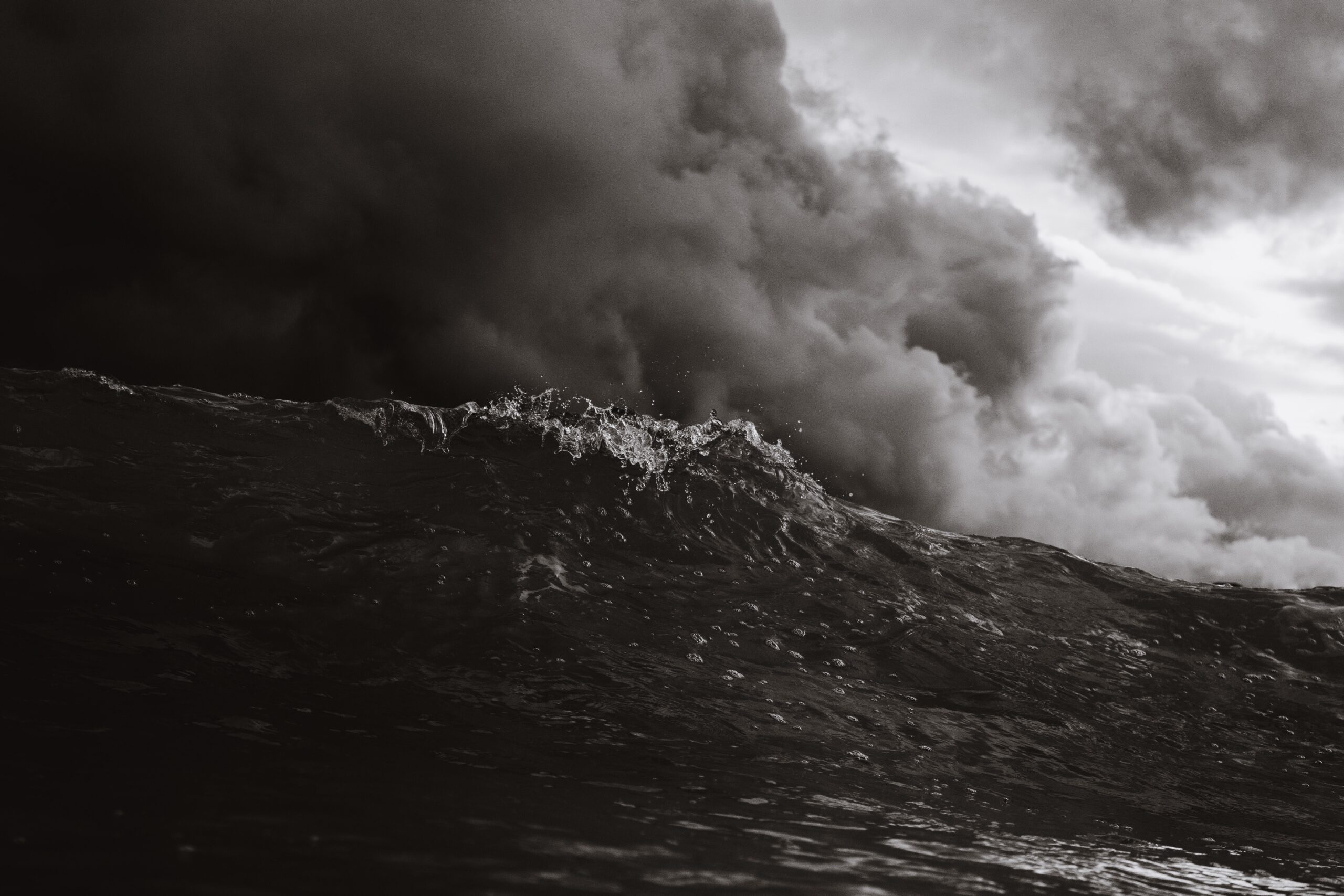
Waves in, waves out.
Then the release.
This is an exhale.
Zoom in, though, and names on the map are chapter titles to other people’s stories. In Dry Bay, a clammer recalls how voices used to bounce across the bay, men filling gaps between work with jokes. Near Graveling Point, oyster boats set out at dawn like they always have, an echo that goes back to the Revolution.
Things change.
Things stay the same.
Stories are rooted in a shifting tide.
Like a storm, the narrative that led my mom and sister and me to the water involved rupture. Mercurial violence changed our family’s shape: A broken coastline. Solace, then. We didn’t have money, but we had the music of waves. We had peanut butter and jelly sandwiches gone soft in the sun. Striking teeth, sand grit lurched us into the present. A Laugh.
Castaways, we drew our own maps.
—
Artwork by: Matt Hardy